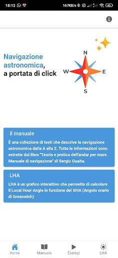
Features Navigazione Astronomica
This app demonstrates in a simple way how to determine Latitude, Longitude, Ship Point, simply using Sun, Sextant and Height Lines.- Celestial sphere and terrestrial sphere, illustrated with all the components useful for understanding astronomical navigation, description and operating principle of the sextant.- Variation of the declination of the Sun over the course of the year with interactive graph to identify the variation of the LHA (Local Hour Angle) as a function of the GHA (Greenwich Hour Angle).- 3 concrete examples to determine Latitude, Longitude and Height lines explained through 3 animations on different nautical charts showing the various uses of the height lines.- 2 downloadable neutral calculation grids, to be used for practical exercises.Ephemeris and H.O.
tables 249 used in all the examples given in the text.
Fitness Tracking
Track your workouts and monitor your health metrics.
Offline Mode
Use the app without an internet connection. Your data syncs when you're back online.
See the Navigazione Astronomica in Action
Get the App Today
Available for Android 8.0 and above